
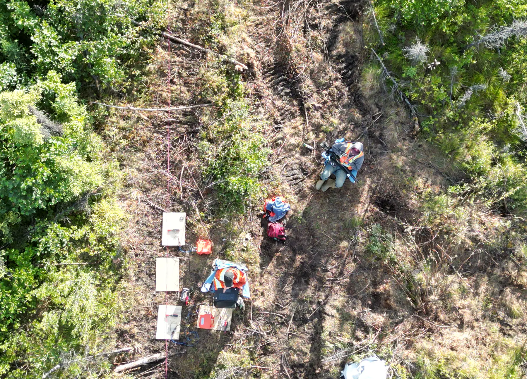
About Rosor
Everything we do follows a shared goal:Accelerate discoveries.
Our team is obsessed with the gap between what's out there and how we find it.
- Up to 500
- magnetics line-km/day with multi-drone surveys
- 15
- avg business days to deliverables
- 4
- platforms built in-house
- 40+
- people across six disciplines
Why we're here
How do we accelerate discoveries?
Simple. Results.
Accelerating discoveries is the underlying principle applied to everything we do. It drives innovation and new industry standards.
- 01
Proprietary technology
The development of proprietary technology is to improve acquisition time and quality.
- 02
Data processing
Our dedication to improving data processing for today and the future. We are currently developing RosorVision, a data-science backed interpretation software, to more effectively integrate multiple survey layers and geological data into actionable results.
- 03
Our team and yours
Each project, each relationship is an opportunity to learn, to progress and to accelerate. We take none of these opportunities for granted.
- 04
Our objective is a moment
The moment a geologist looks at the data and says: “I know where to drill.” Every flight, every dataset, every interpretation exists to get your team there faster.
The team
Geology, engineering, processing and the crews who fly it
Across geology, engineering, data processing, sales, marketing and operations, each discipline is positioned toward the same outcome. That shared purpose is what defines how we work and why we work together.

Alex Coutu
Chief Executive Officer & Co-Founder

Robel Efrem
Chief Technology Officer & Co-Founder

Pyotyr Young
Chief Information Officer & Co-Founder

Jeremy Ramshaw
VP of Sales

Timothy Peters
Chief Marketing Officer

George Musharbash
Chief Pilot
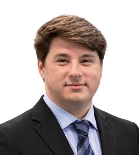
Jeremy Bittick
Lead Field Supervisor

Olivia Wren
Data Scientist
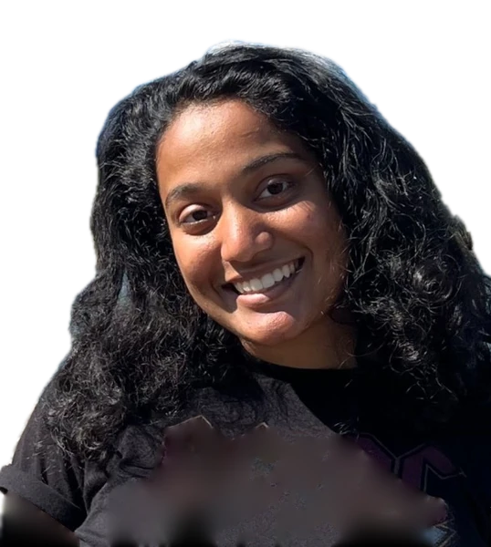
Mehek Mathur
Geophysical Analyst

Michelle Hector
Project Manager

Camalee Cogle
Project Manager

Mian Muhammad Rahim Mohyuddin
Logistics Manager

Zahra Qureshi
Accountant

Nouf Maguid
Executive Assistant / Admin Lead

Marc Cumbe
Office Data Processor
How we work
Four commitments, each one accounted for
- 01
Safety
Crews operate to the same standard on every program. Weather, wind and visibility decide whether we fly, and a deadline never overrules that call. Nobody is asked to put themselves on difficult terrain to save a day.
- 02
Collaboration
Your geologists design the survey with ours before we fly. Interpretation is usually done here, with regular updates to your team, and your geologists are as involved in it as they want to be. Some want a seat at every step; most want the read and the reasoning.
- 03
Building our own tools
When the aircraft we needed didn't exist, we built it. Four platforms and a magnetometer later, the payload, the flight profile and the quality checks are designed together instead of bolted onto someone else's airframe.
- 04
Operational efficiency
Magnetic acquisition runs up to 500 line-km a day with multi-drone surveys on open ground within reach of roads, and less where terrain or access is harder. Deliverables then arrive within an average of 15 business days of completion.
After the flight
One standard, from flight line to drill plan.
01
Checked before we demobilize
On magnetic surveys, data-quality metrics are reviewed daily and acquisition adjusted while the survey is underway.
How we keep data clean →02
Processed and modelled by our own team
Grids and 3D inversion models, built by our own geoscience team on industry-standard software, to one standard.
See the deliverables →03
Interpretation-ready, or interpreted with you
Standard deliverables integrate into your project. Scoped interpretation comes with regular meetings and updates for your geologists.
How interpretation works →
The person who flies your ground and the geoscientists who interpret and sign off on the results work at the same table.
FAQ
Straight answers
01Where does Rosor operate?
Canada and the United States for the English-speaking market, with published programs in Newfoundland, Ontario and Nova Scotia. Rosor also operates in Latin America, which is served by a separate Spanish-language team.
02Who actually flies the survey?
Rosor crews, on Rosor-built aircraft. Acquisition, processing and interpretation are all done by Rosor teams rather than handed to a third party, so the people who answer for the data are the people who produced it.
03What size company are we dealing with?
Over 40 people across geology, engineering, data processing, operations, sales and administration. Small enough that the person who flew your ground is reachable, and staffed deeply enough to keep a drill program on schedule.
Talk to an expert
Talk to a specialist about your property.
Bring the geology, the targets and the questions you need answered.
Send us your shapefile. We'll come back with a preliminary read, a coverage plan and a budget range.