
Technology
We build the aircraftthat we operate.
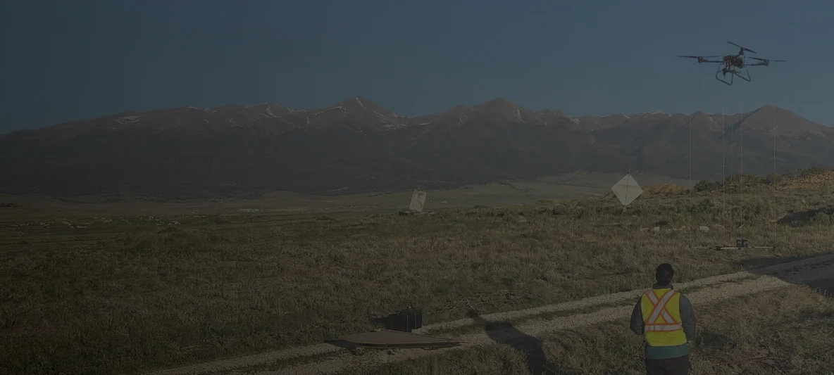
Rosor designs its own survey platforms and operates them on client ground. The people who build the system are the people who answer for the data it brings back.
- 4
- proprietary platforms
- 75 kg
- heaviest payload
- 3 hrs
- longest endurance
- 5–100 m
- survey altitude
The approach
Why build the platforms at all?
Because the survey we want to fly does not exist off the shelf. A helicopter flies too high and too fast for the detail drill targeting needs. A ground crew is too slow to cover a claim block.
Our platforms sit between the two, carrying survey-grade sensors low and slow over ground that neither one serves well. Building them in-house means the payload, the flight profile and the quality checks are designed together rather than bolted onto someone else's airframe.
Payload and range decide the economics of a survey, so we design the airframe, the payload integration and the flight profile together instead of adapting a stock drone to carry a sensor.
The fleet
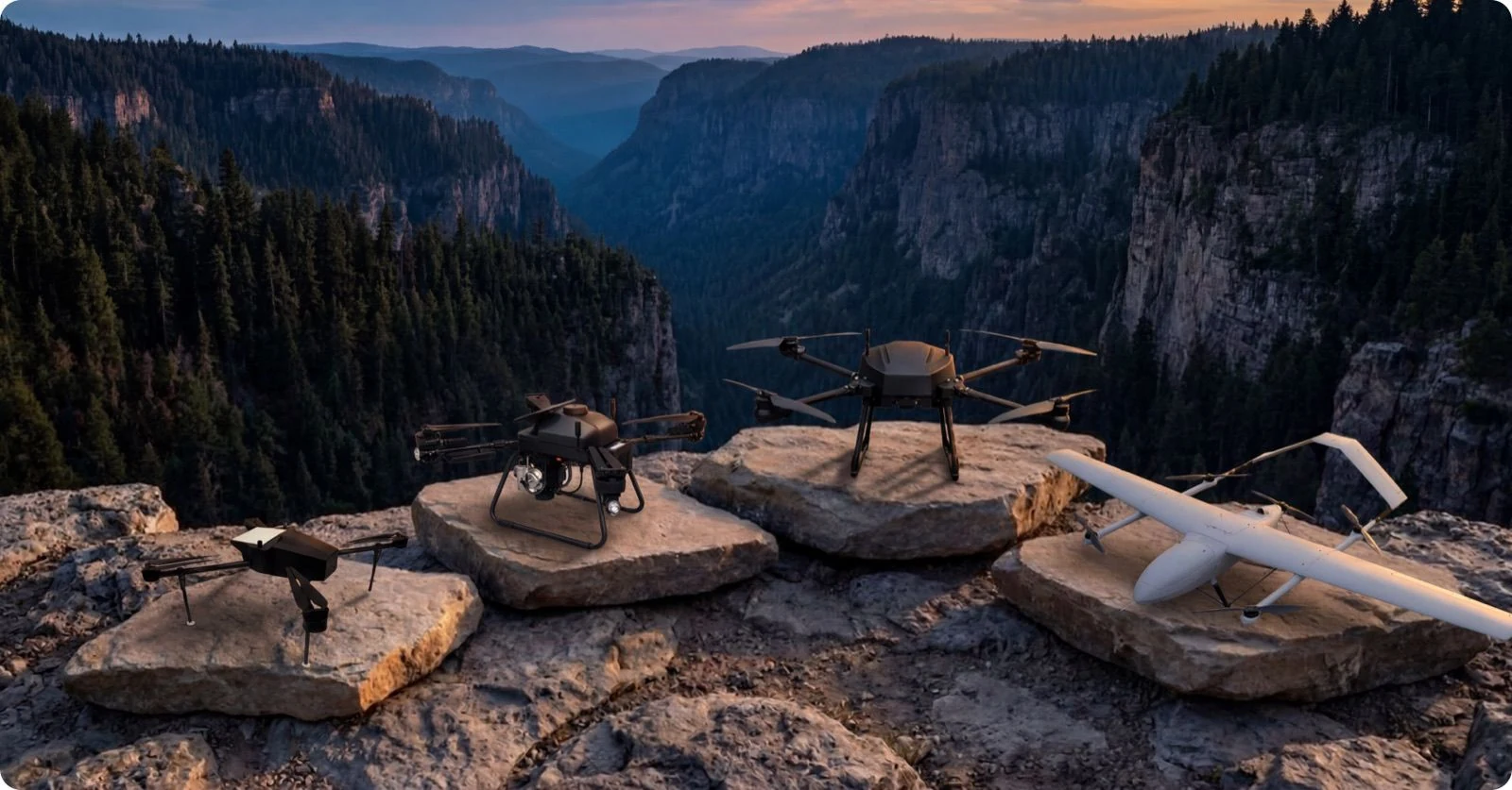
Four aircraft we built ourselves
Endurance is quoted at payload rather than stripped, because a survey aircraft never flies empty.
Rosor Recon Lite
An all-electric compact, foldable autonomous quad-rotor for agile reconnaissance and precision survey work, with Starlink-enabled telemetry that holds range well beyond line of sight.
- Max speed
- 20 m/s
- Max payload
- 7 kg
- Endurance
- 90 min @ 0 kg / 75 min @ 1.5 kg
Operating
- Cruise speed
- 10–14 m/s
- Typical range
- 27–41 line-km per flight
- Max wind
- 12 m/s sustained, 18 in gusts
- Temperature
- −30 to +45 °C
- Max takeoff weight
- 24 kg
- Ceiling
- 6,500 m
Navigation & control
- Telemetry
- Starlink, unlimited range
- Radio control
- 2.4 / 5.8 GHz, 30 km
- Positioning
- Dual RTK / PPM, 0.01 m + 1 ppm CEP
- ADS-B
- Enabled at all times
- Operation
- Fully autonomous or piloted
Airframe
- Type
- Quad-rotor
- Expanded
- 1500 × 1500 × 500 mm
- Folded
- 700 × 700 × 300 mm
- Propellers
- 30 in
Power
- System
- High-power-density batteries, 80 Ah
- Reserve
- 15 min battery reserve
Supported payloads · Zephyr Mag; Geometrics MagArrow and GEM Systems GSMP-35U magnetometers; Greenvalley LiAir X3H LiDAR.
Full spec sheet (PDF) →The sensor
Zephyr Mag
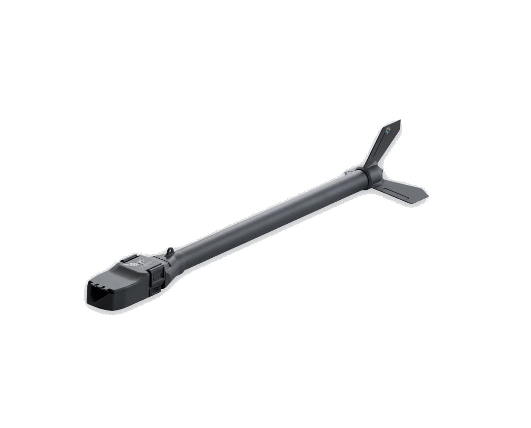
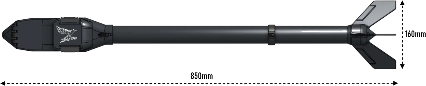
Zephyr Mag is developed and modified in-house for mineral exploration. It is a ready-to-fly total-field magnetometer with integrated GPS, a 9-axis IMU, onboard logging, a wireless link and an optional vector add-on, and it produces survey-grade magnetic data within minutes of arriving on a line.
- Measurement
- Scalar + 3-axis vector
- Sensitivity
- Scalar < 0.003 nT/√Hz
- Vector sensitivity
- < 0.1 nT/√Hz
- Output rate
- 1000 Hz scalar, 250 Hz triaxial
- Dynamic range
- 1,000–150,000 nT
- Heading error
- < 3 nT uncompensated
- Weight
- 700 g
- Battery life
- 6 hours

Data quality
How we keep data clean
The Rosor Zephyr Mag reports data-quality metrics which are reviewed daily. This allows the field team to adjust acquisition while the survey is underway and ensure a high-quality final dataset.
Every flight plan includes the cross-check geometry that lets processing verify and level the dataset afterwards.
- 01
Checked before demobilization
Because those metrics are reviewed daily, a problem surfaces while the crew is still standing on the ground it belongs to, not three weeks later on a processing bench.
- 02
Levelled against real geometry
The flight plan is designed so processing can verify and level the data. Without that geometry, line-related noise stays in the grid permanently.
- 03
Validated before demobilization
We don't leave site until the dataset checks out. That is the whole reason the review happens on your ground rather than on a bench weeks later.
- 04
Lines fly complete, never cut
The flight planner pre-programs every line before the aircraft lifts off, and battery logic is set to finish a line wherever the endurance allows it, so breaks are planned rather than incidental.
- 05
Telemetry in front of the pilots
Live battery, heading and speed telemetry runs through the flight, and obstacle detection holds a hover rather than pressing on. The crew always knows exactly what the aircraft is doing.
- 06
Client LiDAR feeds the planner
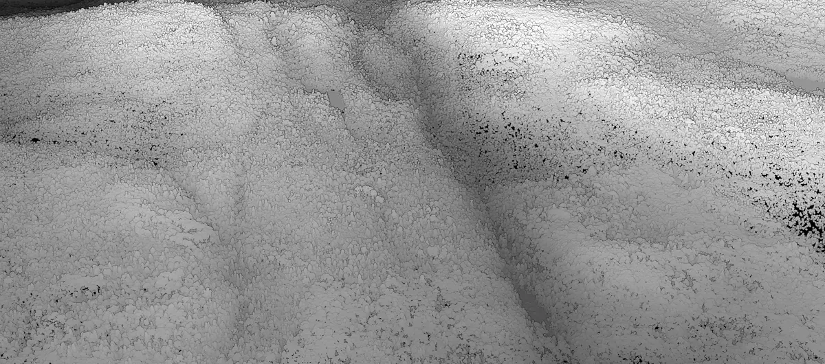
Where a client supplies LiDAR, it goes into the flight planner so we fly lower with confidence, and the same surface gets reused in micro-leveling. Our raw, unleveled magnetic data maps are usually very good from the outset.
Deliverables
What's included and what you can add
Every program ships interpretation-ready. Interpretation itself is available, scoped to your program.
Standard on every program
- Raw data, cleaned and leveled
- Map layers and images
- A 3D unconstrained VOXI inversion model on magnetic surveys, interpretation-ready, that integrates into your project
Scoped at additional cost
- A constrained VOXI inversion model, which requires constraining data you supply: drillholes, physical property measurements or a geological model
- Geophysical interpretation with geological context
On magnetics and LiDAR programs, deliverables arrive within an average of 15 business days of completion. Larger programs and electromagnetic (EM) surveys are scoped individually, and we set that timeline with you before work starts.
The dataset keeps working after the drills leave. You understand where you are drilling and keep developing new targets from the growing information base, which is what scientific, hypothesis-driven drill-hole selection looks like.
FAQ
Straight answers
01Do you build your own drones?
Yes. All four survey platforms are designed and built by Rosor, which is why the payload, the flight profile and the quality checks are designed together rather than bolted onto someone else's airframe. It also means the people who built the aircraft are the people who answer for the data it brings back.
02Why does payload capacity matter for a survey?
Because the good sensors are heavy. A larger scintillation crystal produces statistically meaningful K, Th and U channels where a small detector produces noise, and most drones simply cannot lift one. Payload capacity is what decides which methods you can actually fly.

Talk to an expert
Talk to the people who built it.
Bring the ground and the target model. We'll tell you which platform and which sensors your program needs.
Send us your shapefile. We'll come back with a preliminary read, a coverage plan and a budget range.