Rosor Exploration

Case studies

Programs clients drilled on.

Explore our past projects across complex geological settings.

Up to 500
magnetics line-km/day with multi-drone surveys
Surface–1000 m
SAEM investigation depth
15
avg business days to deliverables
Drone magnetics
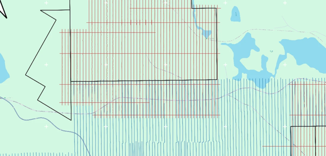
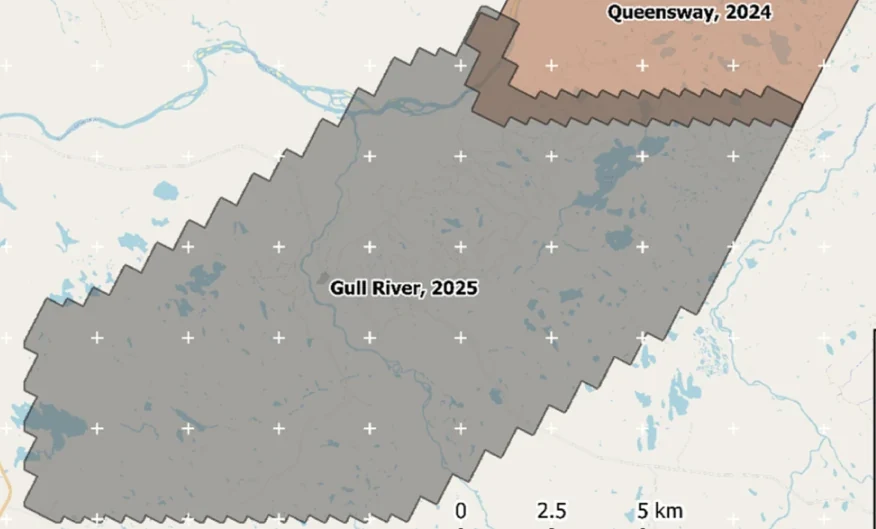
New Found Gold — Gull River survey figure

Gull River

Grand Falls-Windsor, Newfoundland

New Found Gold
315
line-km/day on this program
~4,000
line-km completed

Almost 4,000 line-kilometres acquired across the program, completed on schedule despite delays from a wildfire evacuation interrupting it and geomagnetic storms. Sustained production without trading away data quality.

“The drone magnetic survey provided high-resolution structural insights that significantly improved our understanding of the subsurface geology, allowing us to refine our exploration targets.”

David Drover · Project Geologist

Read the Case Study →

Drone magnetics
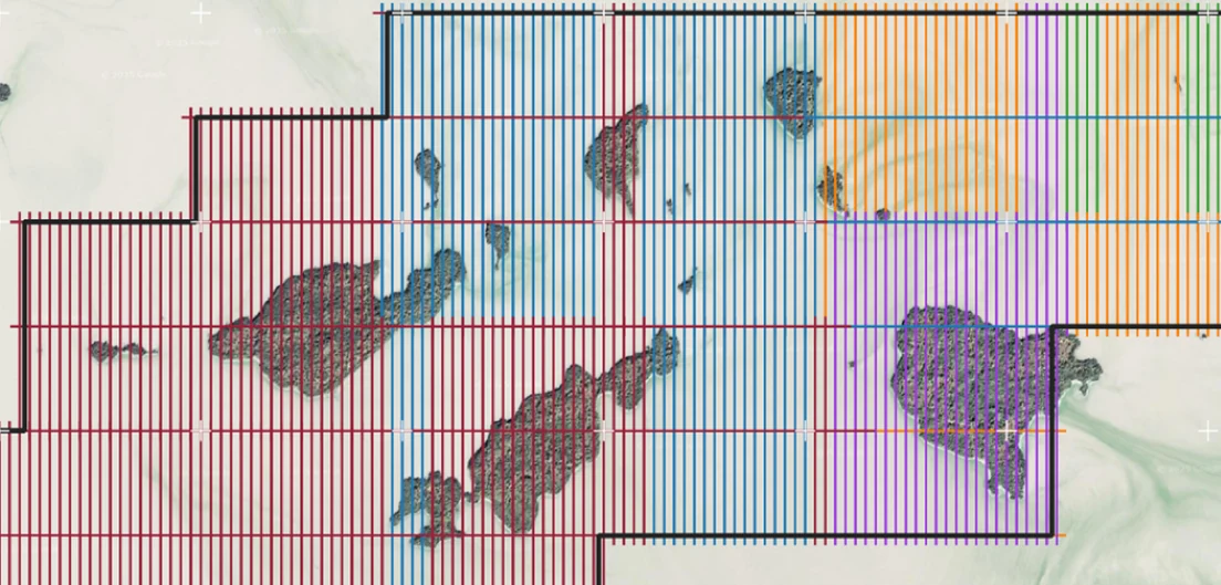
International Explorers & Prospectors — Abitibi Lake survey figure

Abitibi Lake

Abitibi Lake, Ontario, Canada

International Explorers & Prospectors
10
days, site to deliverables
3
days of acquisition

Mobilization to final deliverables in ten days, with acquisition complete in three and no mechanical downtime.

“Throughout the duration of the project, Rosor maintained clear and efficient communication with our team. They demonstrated a strong commitment to meeting deadlines by processing the collected data within a very tight time-frame, ensuring that our exploration schedule remained on track.”

Peter Colbert · CFO

Read the Case Study →
Drone magnetics + LiDAR
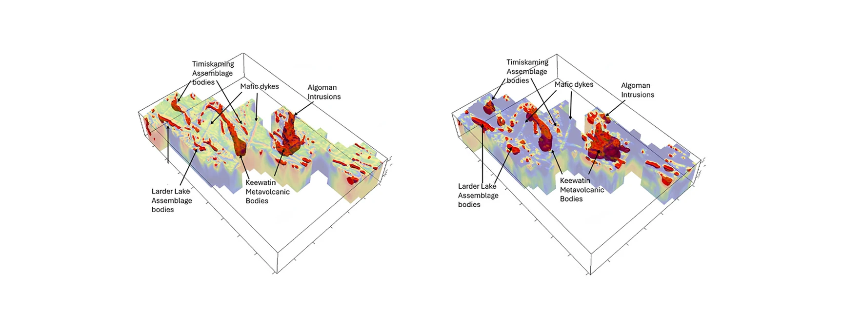
Gatling Exploration — Larder Lake survey figure

Larder Lake

Larder Lake, Ontario, Canada

Gatling Exploration
13
priority areas delineated
84
km² surveyed

Thirteen priority areas delineated from ML-assisted interpretation, ranked for follow-up.

“Rosor has helped our exploration efforts both on the ground and with the drill bit utilizing their drone-borne surveys. They communicated effectively throughout the work program and processed the data within our tight time frame. We enjoy working with the team and look forward to using them again.”

Nathan Tribble · VP Exploration

Read the Case Study →
Drone magnetics
St. Barbara — Cochrane Hill survey figure

Cochrane Hill

Melrose, Nova Scotia, Canada

St. Barbara
~55
km²
3→1
blocks merged

Three magnetic blocks merged into a single coherent grid, one of them a legacy survey flown without proper quality geometry.

“Rosor managed to get a team onsite with only a few weeks' notice so that our survey could be completed within our tight timeframe. They also did a great job of merging a previous magnetic dataset with the newly captured data to create some impressive regional imagery.”

Daniel McDwyer · Manager of Exploration, Australia & Atlantic

Read the Case Study →

Talk to an expert

Let's build a new case study together.

Every program on this page started with a shapefile and a target model.

Send us your shapefile. We'll come back with a preliminary read, a coverage plan and a budget range.